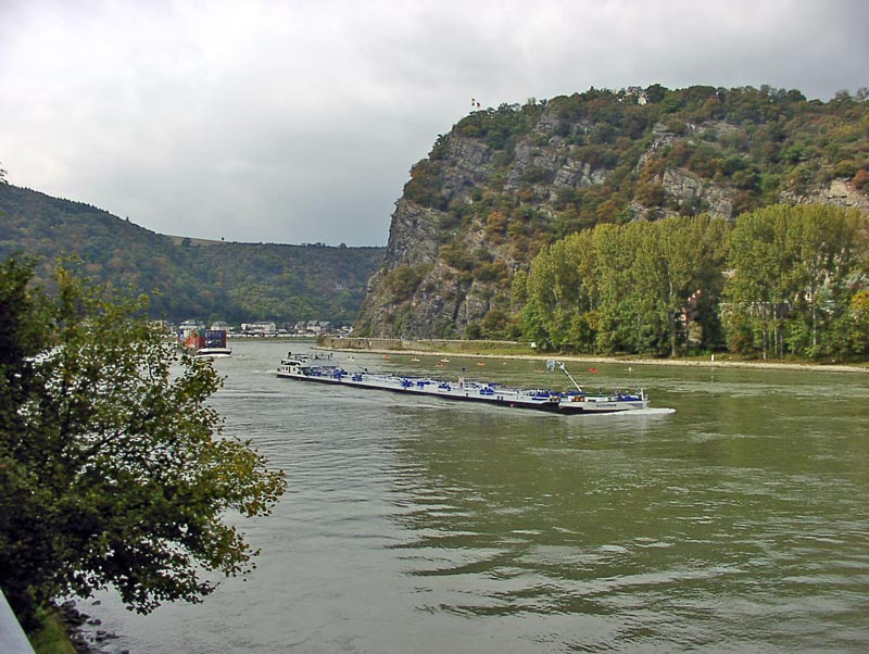
Die engste Stelle des Rheintals. Der Rad-/Gehweg verläuft direkt an der Bundesstraße 9. The narrowest spot in the Rhine valley. The pedestrian and bike path runs along the B9 (federal road)
Loreley bei Wikipedia - historische Karte - Fotos aus Rheinland-Pfalz
< previous - zurück
vor - next >
Startseite
info@hoeckmann.de
27.12.22 © Höckmann