Historical 
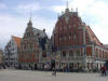
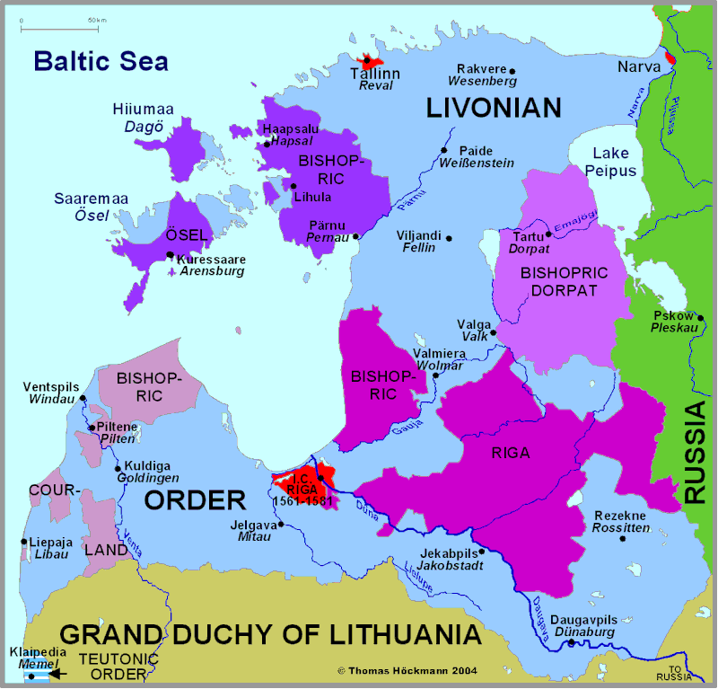
Map of Estonia and Latvia 16. Century
Historische Karte von Estland und Lettland 16. Jahrhundert
Carte historique de la Estonie et Lettonie 16. siecle

17. Jahrhundert 17. Century 17. siecle  18. Jahrhundert 18. Century 18. siecle

Photos from the region

interactive atlas

Germany - Start

Baden-Württemberg South

Baden-Württemberg North

Bavaria

Bavarian Swabia

Swabia North

Brandenburg

Hesse North

Hesse South

Mecklenburg

Lower Saxony

Northrhine-Westphalia

Palatinate

Pomerania

West and East-Prussia

Rhineland-Palatinate

Saarland

Saxony

Silesia

Schleswig-Holstein

Thuringia

Limburg

Luxembourg

Flanders

Lorraine

Alsace South

Tyrol

Austria

Baltic Countries

Sitemap

Abbreviations

recommended books

© Thomas Höckmann

Historical Atlas box

Periodical Historical
Atlas of Europe
English Version

21 Maps of Europe
one for each Century
more

sample in original size

West- and East-Prussia

sample in original size

Startseite

info@hoeckmann.de

Impressum/Disclaimer Sitemap

02.08.18 © Höckmann

www.ruhr-projekt.de