|
Germany - Start
Baden-Württemberg
South
Baden-Württemberg North
Bavaria
Bavarian Swabia
Swabia North
Brandenburg
Hesse North
Hesse South
Mecklenburg
Lower Saxony
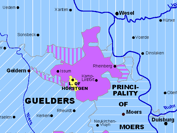
Northrhine-Westphalia
Palatinate
Pomerania
West and East-Prussia
Rhineland-Palatinate
Saarland
Saxony
Silesia
Schleswig-Holstein
Thuringia
Limburg
Luxembourg
Flanders
Lorraine
Alsace
South
Tyrol
Austria
Baltic Countries
Sitemap
Abbreviations
recommended books
© Thomas Höckmann

Periodical Historical
Atlas of Europe
English Version
21 Maps of Europe
one for each Century
more |
- 40 interactive maps show the Holy
Roman Empire of German Nation
- direct link to
the relevant article in Wikipedia by clicking on the territory name
- excellent pdf-quality
- zooming function
- the maps have different scales
- direct download for only 29 Euro +
taxes
-
more
|